Natural disasters have always tested the limits of human preparedness, but in 2025, the world’s ability to respond is being reshaped by real-time disaster response systems.
Satellite imagery, live sensors, social media alerts, and AI-driven prediction tools have transformed the speed at which governments, aid groups, and civilians respond to fast-moving crises. In a world facing more frequent extreme weather, these advances can mean the difference between coordinated rescue operations and overwhelming loss.
As emergency systems shift toward instant information, disaster coverage itself is evolving. The public now witnesses disasters moment by moment, often before official agencies issue their initial assessments. This fusion of media, data, and technology is rewriting the expectations for how global disasters are detected, explained, and managed.
The Power of Live Satellite Data in Crisis Detection
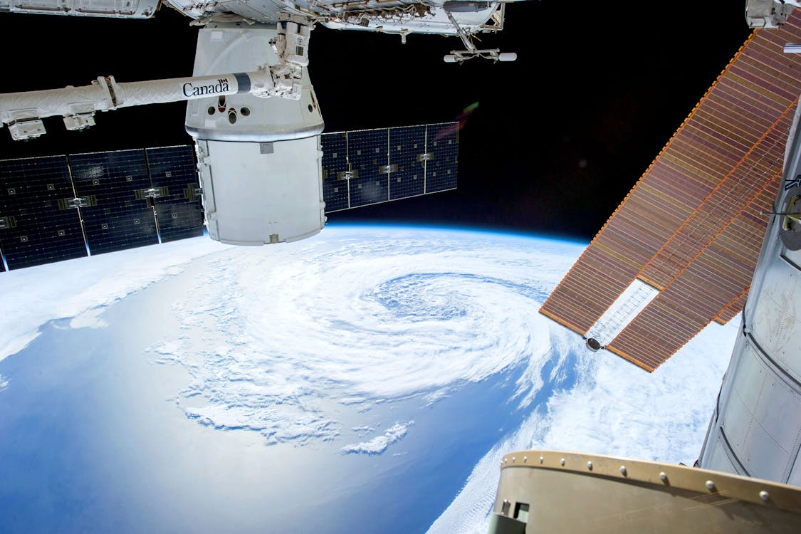
Satellite technology has become one of the most indispensable tools in early disaster response. In 2025, commercial and government satellites can capture high-resolution imagery within minutes of an event, whether a wildfire flare-up, a tsunami approaching the coast, or a fast-forming tropical storm.
This immediate visibility allows officials to assess impact zones before crews can arrive. Humanitarian teams can map collapsed buildings, flooded communities, or blocked evacuation routes almost instantly. Even more crucial is the trend toward predictive satellite monitoring. AI-assisted systems track heat signatures, surface water levels, and atmospheric changes to anticipate disasters such as droughts or volcanic eruptions.
For the public, satellite images often shape the first understanding of a crisis. When the world sees fires advancing toward neighborhoods or rivers overtopping levees, these visuals drive attention, donations, and policy urgency. In many cases, public mobilization begins long before complete reports are issued.
Read Health Systems on Alert: Lessons from the Next Pandemic Simulations to explore how global systems work.
Social Media as an Emergency Lifeline—and a Challenge
Social media remains the fastest communication channel during disasters, allowing people in crisis zones to signal danger, request help, or share conditions directly from their phones. In 2025, emergency agencies actively monitor platforms like X, WhatsApp, and Instagram for real-time updates from affected regions.
Crowdsourced posts can serve as ground-level intelligence, helping responders pinpoint stranded individuals or confirm the location of damage. During wildfires, residents often share evacuation routes faster than official alerts can be issued. In earthquakes, early posts can identify the hardest-hit areas when communication towers are down.
But social media also brings challenges. Misinformation spreads rapidly during crises, often leading to panic or the misallocation of resources. Viral images of older disasters are occasionally misrepresented as current events. Emergency teams now deploy digital verification units whose sole job is to distinguish accurate posts from misleading ones before incorporating them into response plans.
Still, when used responsibly, social platforms provide a decentralized but robust emergency signal system that has saved countless lives.
To understand how digital platforms shape response, explore How Global Conflict Coverage Shapes Public Opinion in 2025.
AI and Predictive Tools Changing Disaster Preparedness
Artificial intelligence plays a growing role in forecasting and mitigating disasters. Machine-learning models analyze decades of meteorological, geological, and environmental data to predict where hazards are likely to strike and how severe they may be.
Flood models now simulate rainfall and riverflow patterns days in advance, helping cities prepare barriers and emergency shelters. AI wildfire tools map wind shifts and dryness levels to estimate how quickly flames might spread. Even disease outbreaks benefit from real-time modeling: companies and governments track climate and travel data to predict when vector-borne illnesses may surge after storms or floods.
These tools don’t eliminate risk, but they enable more informed decision-making. Communities that once had little warning now have hours or days to brace for impact. The result is a global shift from reactive to anticipatory disaster management.
For more on predictive modeling, check out Quantum Computing on the World Stage.
A New Era of Public Expectations and Accountability
With real-time disaster visibility comes rising public expectation. When citizens can track storms live, see damage instantly, and witness coordinated rescues around the world, they expect the same speed and accuracy at home.
Governments and agencies face pressure to respond more quickly, communicate effectively, and provide transparent updates. Failure to meet these expectations can erode trust within a matter of hours. On the other hand, effective real-time communication, such as push alerts, emergency apps, or verified social media accounts, can build credibility and improve survival rates.
As technology continues to advance, real-time disaster response will increasingly depend on the seamless integration of satellite data, AI prediction, and rapid communication. In this new era, information is not just power; it is a form of protection.